Korouoma Nature Reserve

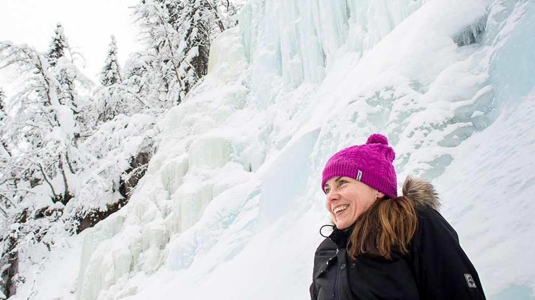
Korouoma is about 30 kilometres long northwest-southeast valley. It is part of a hundreds of millions of years old bedrock fracture zone. You can hike across the entire canyon or stay on the 5 km long Koronjää Trail, along which the canyon’s three largest ice falls rise. New summer trail Piippukallion pihaus takes you to slopes to enjoy sceneries.
Customer service: Oulanka Visitor Centre, Tel. +358 206 39 6850, oulanka(at)metsa.fi
In Finland, Nature Reserve Areas and National Parks are open all year round and access is free.
#korouoma #korouomacanyon
Korouoma Nature Reserve in Posio is a paradise of ice falls
 Location: Southern Lapland, Municipality of Posio. Read More
Arrival: By car and by bus. Read More
Activities: Hiking, watching the birds, ice fall climbing, seeing the sceneries. Read More
Sights: The Korouoma area offers a multitude of possibilities for hiking, nature watching and fishing as well as learning about the culture of the area in context to nature. A fracture valley, ice falls in winter, rivers, meadows, birds.... Read More
Suitability: Suits well for people in good physicall condition all around the year, requires basic hiking skills, in summer for hikers, also for families.
Services: Open wilderness hut, day-use hut, rental hut, lean-to shelters, campfire sites. Read More
Trails: Two 5 kilometre long day trails and a 20 kilometre long hiking trail going throughout the area. Read More
The area is managed by Metsähallitus, Parks & Wildlife Finland.
This is the webpage nationalparks.fi/korouoma
Customer Service
Oulanka Visitor Centre
Tel. int. +358 206 39 6850
Email: oulanka(at)metsa.fi
Oulanka Visitor Centre in Kuusamo is closed from 29 February 2024 for the spring. Hikers can still get advice on matters related to Oulanka National Park on the Nationalparks.fi website and Mon-Fri 12pm - 3pm by phone and email.

Information for Companies and Big Groups
Do you plan to organize guided excursions to the Finnish National Parks or other protected areas? It is possible due to partnership agreement with Metsähallitus, Parks & Wildlife Finland.
- Sustainable Tourism in Protected areas in Finland (julkaisut.metsa.fi)
- Please, contact kirjaamo(at)metsa.fi
Overnighting
Many kinds of Huts for the Hiker. Please note, that it is not allowed for big groups or commercial groups to overnight in Open Wilderness Huts and in Day-use Huts.

