Iso-Syöte Menu
Maps of Iso-Syöte Hiking Area
11.12.2024
The information on this page is no longer updated. See up-to-date information: Luontoon.fi.
Syöte Brochure

Pdf-file 3 MB (julkaisut.metsa.fi)
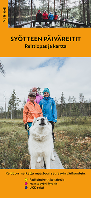
Syöte summer trails

Syöte summer trails in finnish (pdf 5,2 Mt, julkaisut.metsa.fi)
Other Maps


Printed Maps
- Syöte, waterproof outdoor map, 1:50 000, Calazo 2020.
- Maastokartta : Terrain map S512 Iso-Syöte, 1:50 000.
- Peruskartta : Basic map S5124 Syöte, 1:25 000.
- Syöte hiking trail map, 1:60 000.
- Syöte - Pudasjärvi / Taivalkoski - Kylmäluoma outdoor map 1:50 000 (2008).
- Peruskarttalehdet: Basic map sheets 3532 09 and 3541 07, 1:20 000.
- Maastokartta: Terrain map 3532 Iinattijärvi, 3541 Rytinki, 1:50 000.
- GT Outdoormap Finland North, 2016, 1:400 000.

